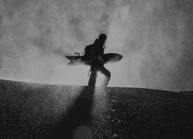


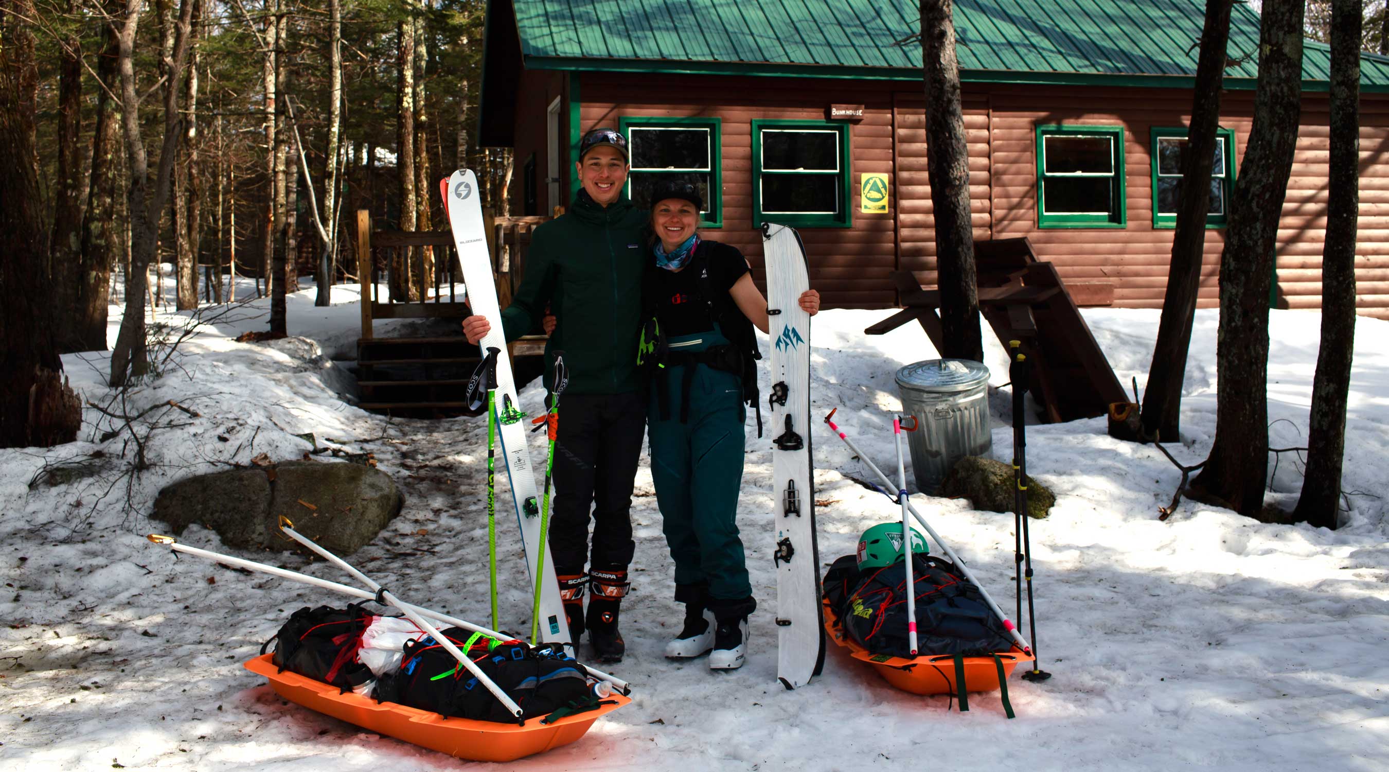
Splitboarding to Mount Katahdin with Lianna Altieri
Trip Report
2022 Jones Live Like Liz Award Trip Report
Photos by Julian Phan
Excited to present a trip report from the 2022 Jones Live Like Liz Award winner - Lianna Altieri of Wayland, Massachusetts.
In March 2022, Lianna and a friend used the grant to help fund a trip to one of the most rugged and remote peaks in the Eastern US - Mount Katahdin. Located in Northern Maine, Katahdin is the state’s high point at 5,269 feet, and holds some very impressive terrain including a cirque of steep rocky couloirs unlike any other peak in the East.
A mid-winter adventure on Katahdin is no easy feat as Lianna and her partner toured in over 16 miles to access the mountain. The mountain is also within the boundaries of a permit regulated state park that adds serious logistical hurdles to any attempt at exploring the peak in the winter. Despite a short weather window and a low snowpack, Lianna’s Katahdin trip was undoubtedly a memorable adventure and a journey to be proud of as they ripped some super fun turns in a zone that’s about as rarefied and remote as it gets on the East Coast.
Check out Lianna’s trip report and photos to get inspired to start working on your application for the 2023 Jones Adventure Grants.
Trekking to Mount Katahdin
Deep in the Maine wilderness lies Mount Katahdin. The name means “Great Mountain” to the local Penobscot Native Americans and the peak surely lives up to its name. Topping out at 5269 feet, Katahdin is Maine’s highest point and one of the most remote mountains in the Eastern US. It’s located within Baxter State Park and is surrounded by hundreds of miles of forest, rivers, lakes and valleys. The state park is popular in the summer months, but barely 500 people make the trek into the park each year in the winter.
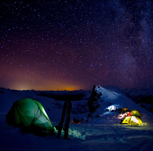
Winter park access is heavily regulated as backcountry skiers and riders are only allowed in from December 1st to March 31st and overnight access requires a reservation. The reservation allows you to stay in one of the bunkhouses, lean-tos or campsites that are spread throughout the park. The reservations are so limited that they usually fill up immediately on opening day of registration in November. We got lucky and scored a last minute reservation for March 30th, only two days before the park is scheduled to close until summer.
Beyond the access logistics, weather is a major wild card on Katahdin. In the winter months, park roads are closed, so it’s a 16+ mile approach to reach the base of the peak. The reservation system removes the luxury of watching the weather and waiting for a good window to commit to the journey in. When your reservation time comes, you gear up, cross your fingers and hope the weather gods play nice.
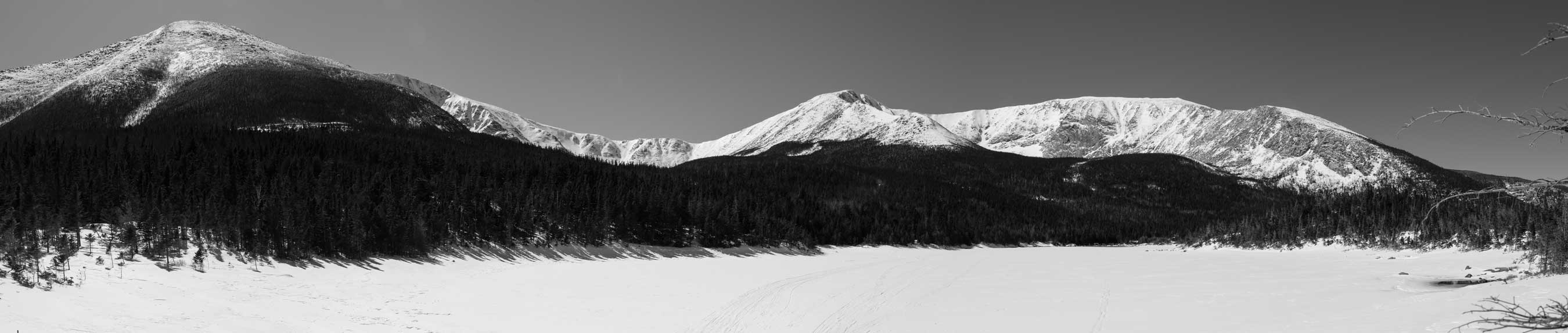
Most of Katahdin's steepest terrain is accessed from a zone called Chimney Pond which lies in Katahdin’s South Basin. This basin is framed by Pamola Peak, Chimney Peak, the famous Knife Edge, Baxter Peak and Hamlin Peak. The usual approach to Chimney Pond is to ski in 13+ miles to the bunkhouse at Roaring Brook the first day, spend the night there, then ski the remaining three and a half miles to a base camp at the Chimney Pond bunkhouse the next day. Unfortunately, COVID restrictions that only allow one party at a time in a bunkhouse, squash our plans to use the Chimney Pond bunkhouse. We will have to launch for Katahdin from Roaring Brook.
Day One - Trailhead to Chimney Shred
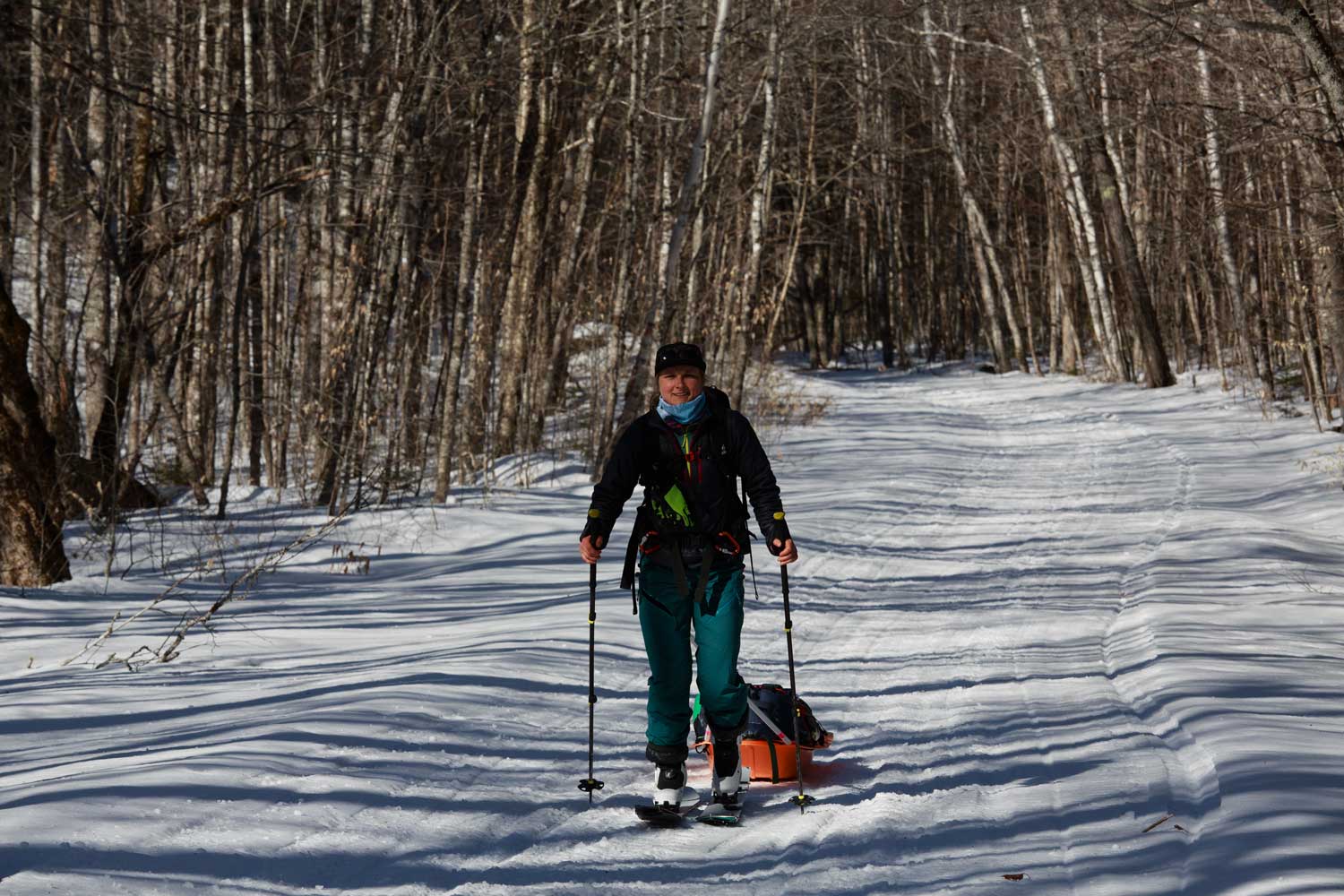
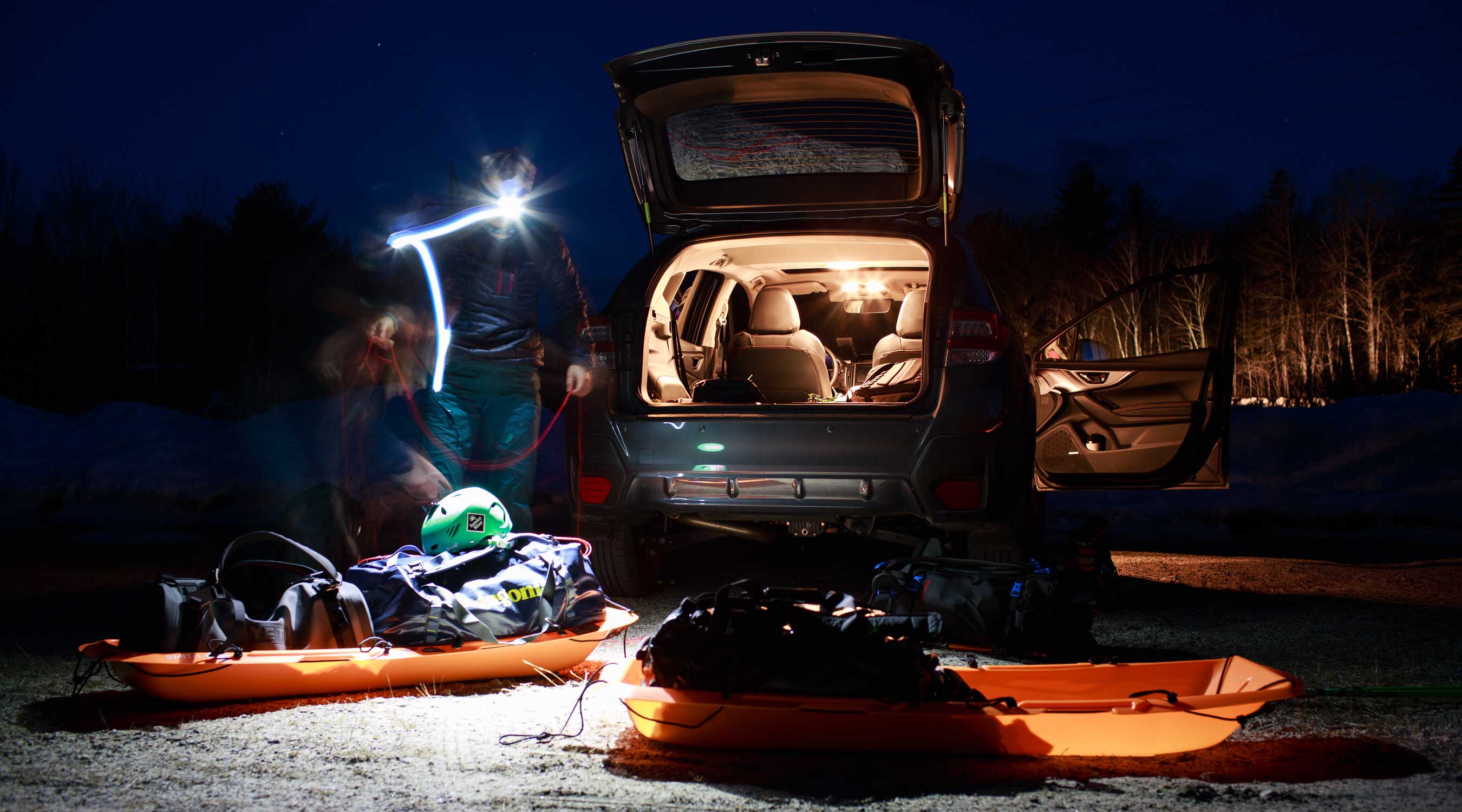
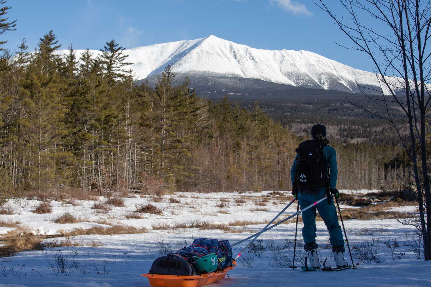
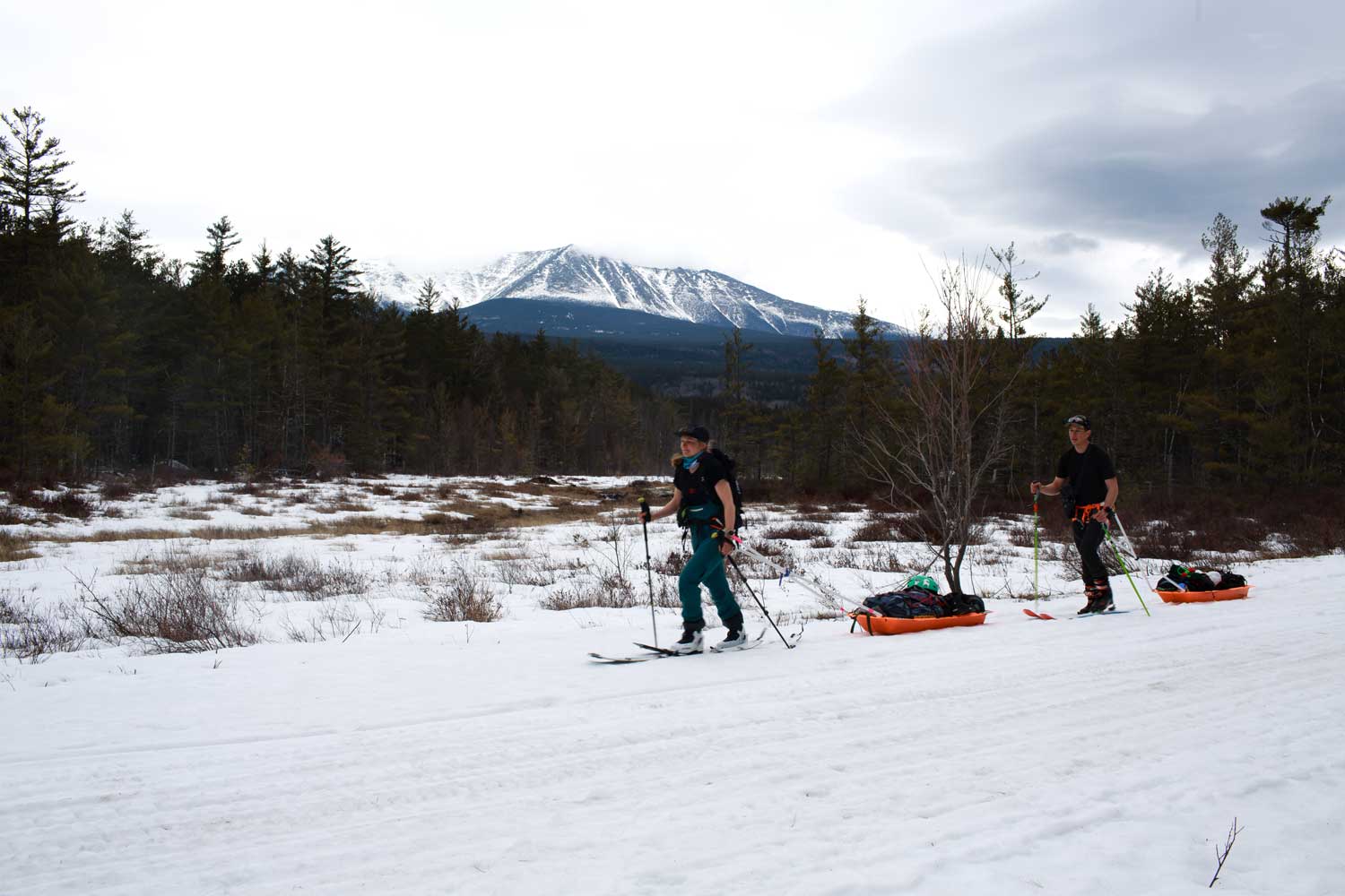
We arrive at the Abol Bridge trailhead parking lot just before dawn. With one last check of the weather, we lash our gear to our homemade pull sleds, strap our skis to our backpacks and begin dragging our sleds anxiously down the gravel road that leads to the trailhead. The parking area is bare of snow which has us a bit nervous that the approach trail will be dry, but as we make the turn onto the Appalachian trail the gravel path quickly changes to snow. Strapping into our skis, we begin the 13 mile tour to Roaring Brook.
The first few miles are slow going as we get used to skinning with the push and pull of our heavy sleds dragging behind us. The terrain is pretty flat which makes it a slog. The trail is mostly packed down and iced over from park ranger snowmobile traffic making for slippery and sketchy skinning.
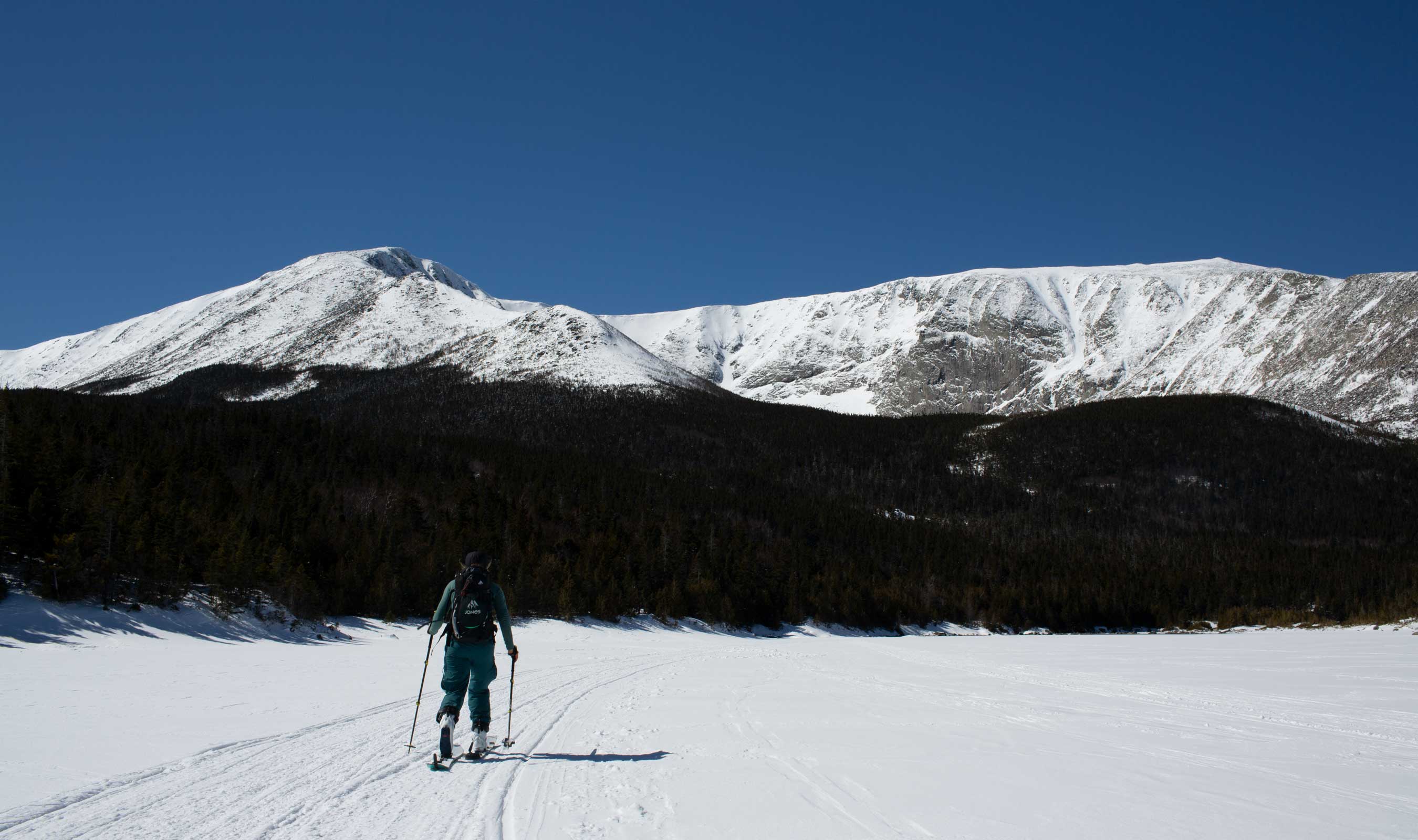
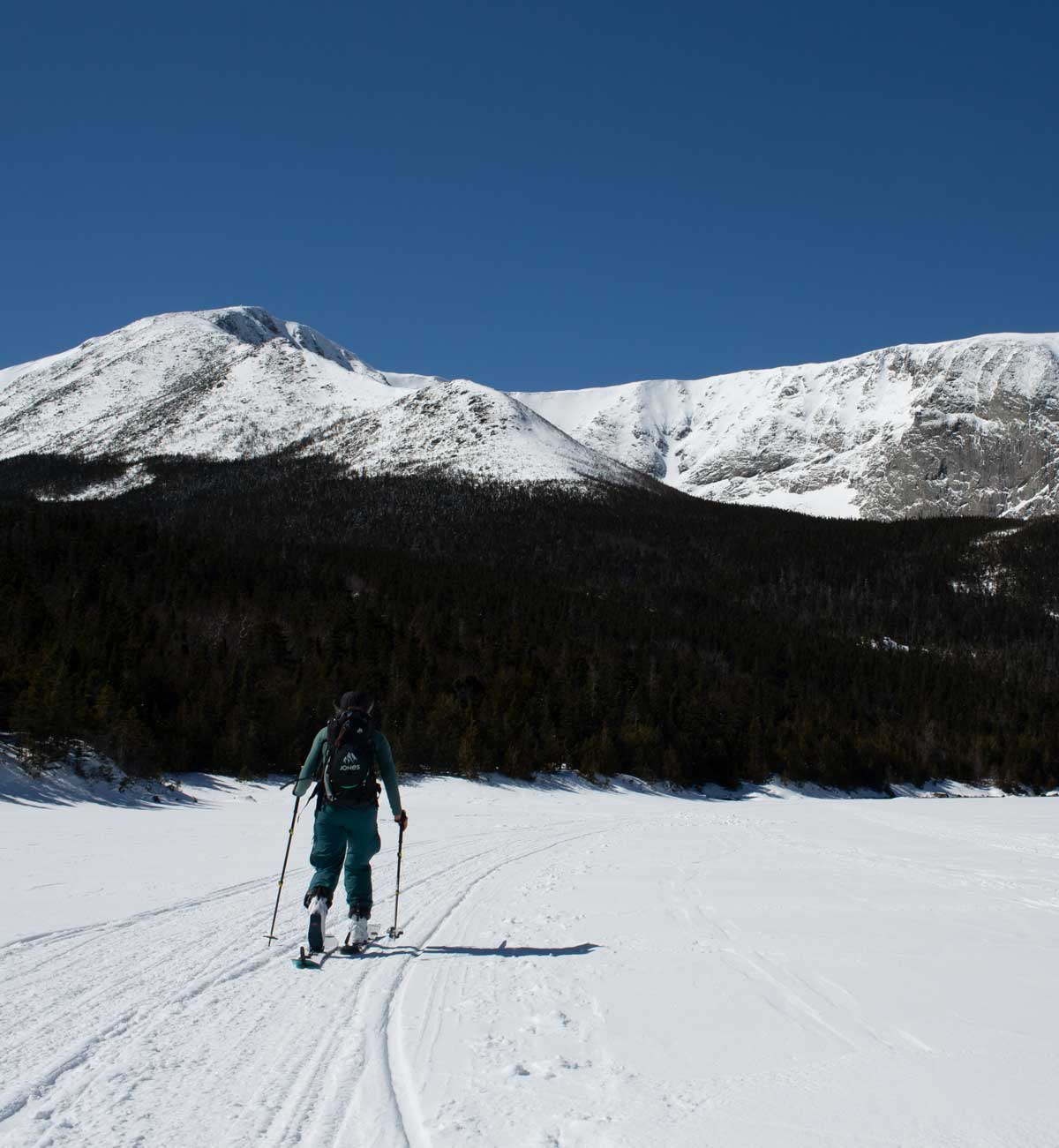
Getting in the rhythm the miles start to fade away a lot quicker. Making the turn onto Roaring Brook road 3.5 miles in we get our first glimpse of Katahdin. Still ten miles to go to camp, but the mesmerizing view energizes us to pick up the pace.
A couple miles later a park ranger pulls up behind us on his snowmobile. He tells us that we will likely be the only humans in the park to close out the season and drills us with questions on our plans. We share our itinerary and show him that we have all the necessary equipment to safely travel in the alpine. He offers us good luck, and away he goes on his snowmobile.
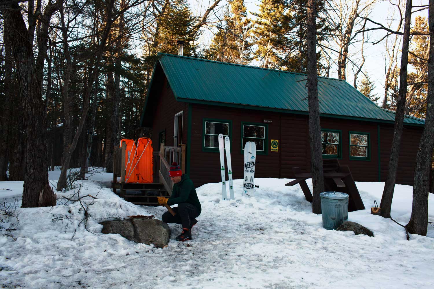
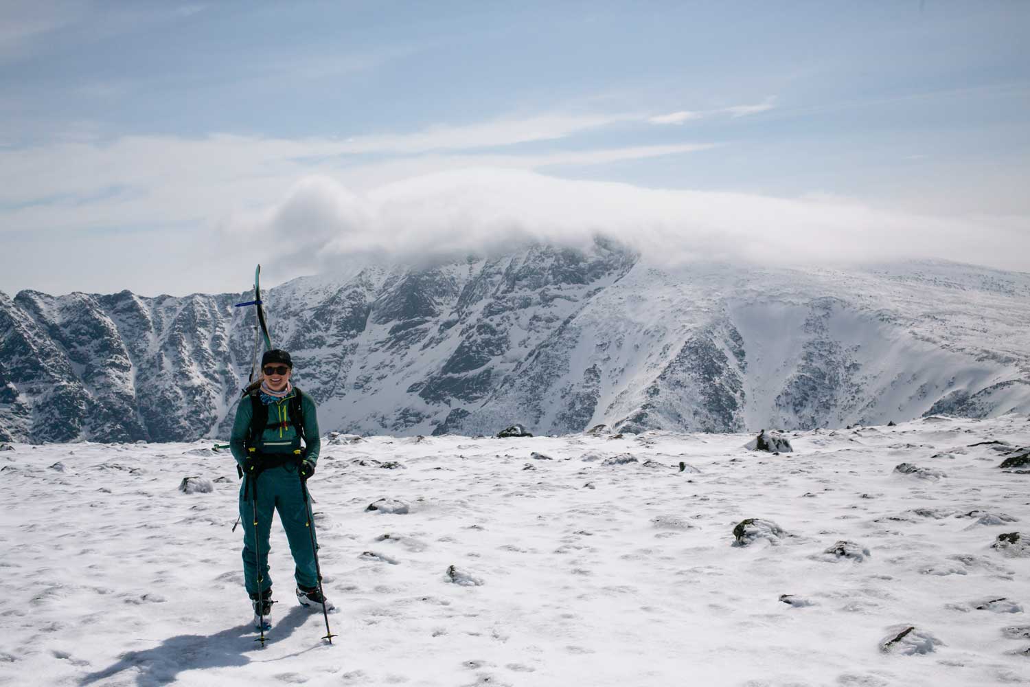
We arrive at the Roaring Brook bunkhouse around noon having skinned nearly 13 miles and climbed over 1500 feet with our fifty pound sleds. More excited to get some turns than tired, we drop our gear and continue on up towards Chimney Pond.
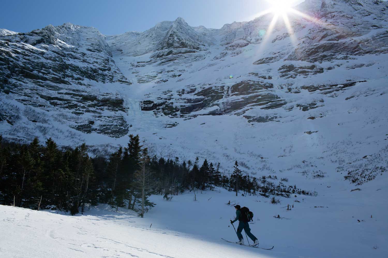
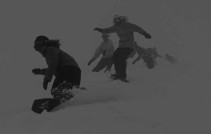
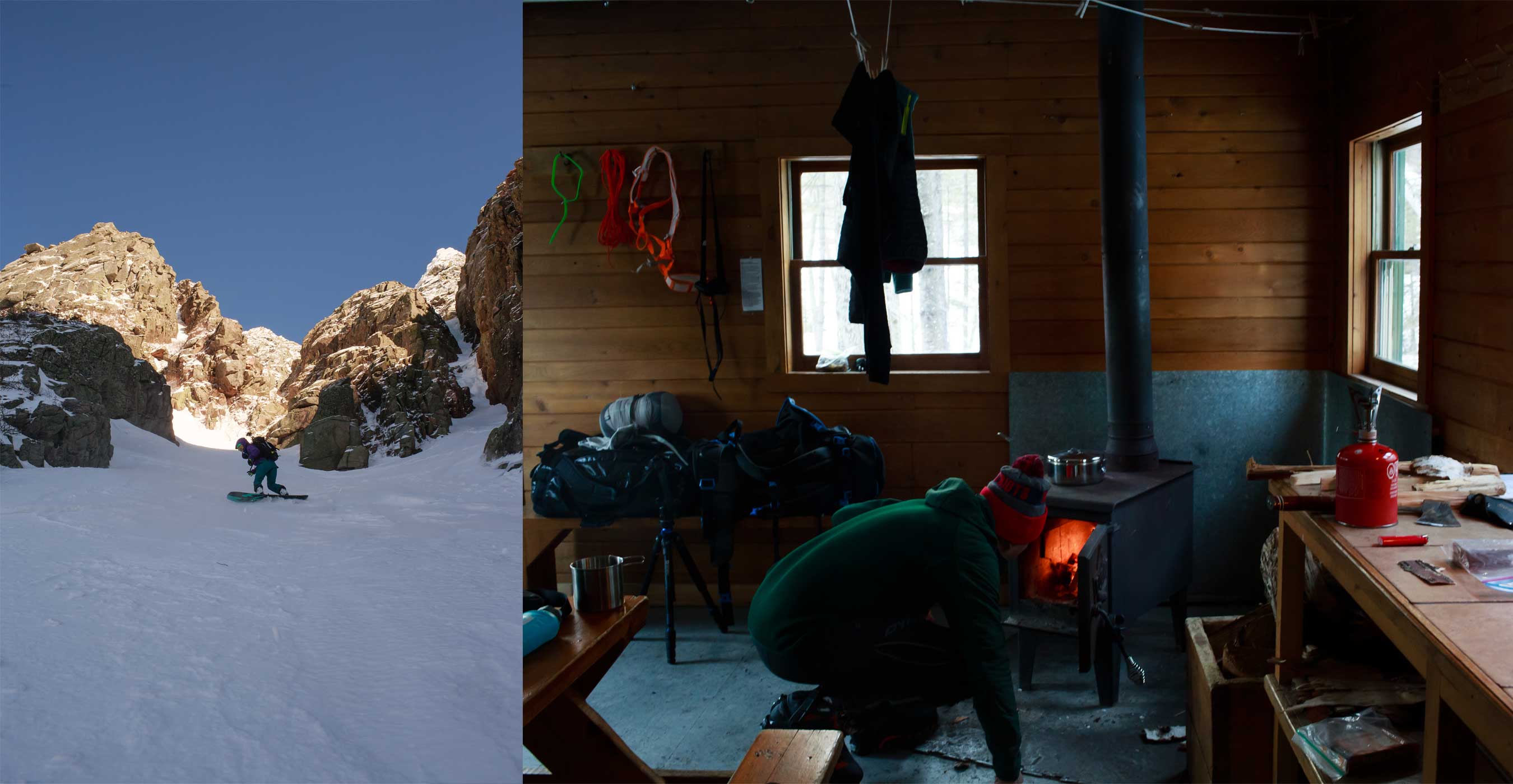
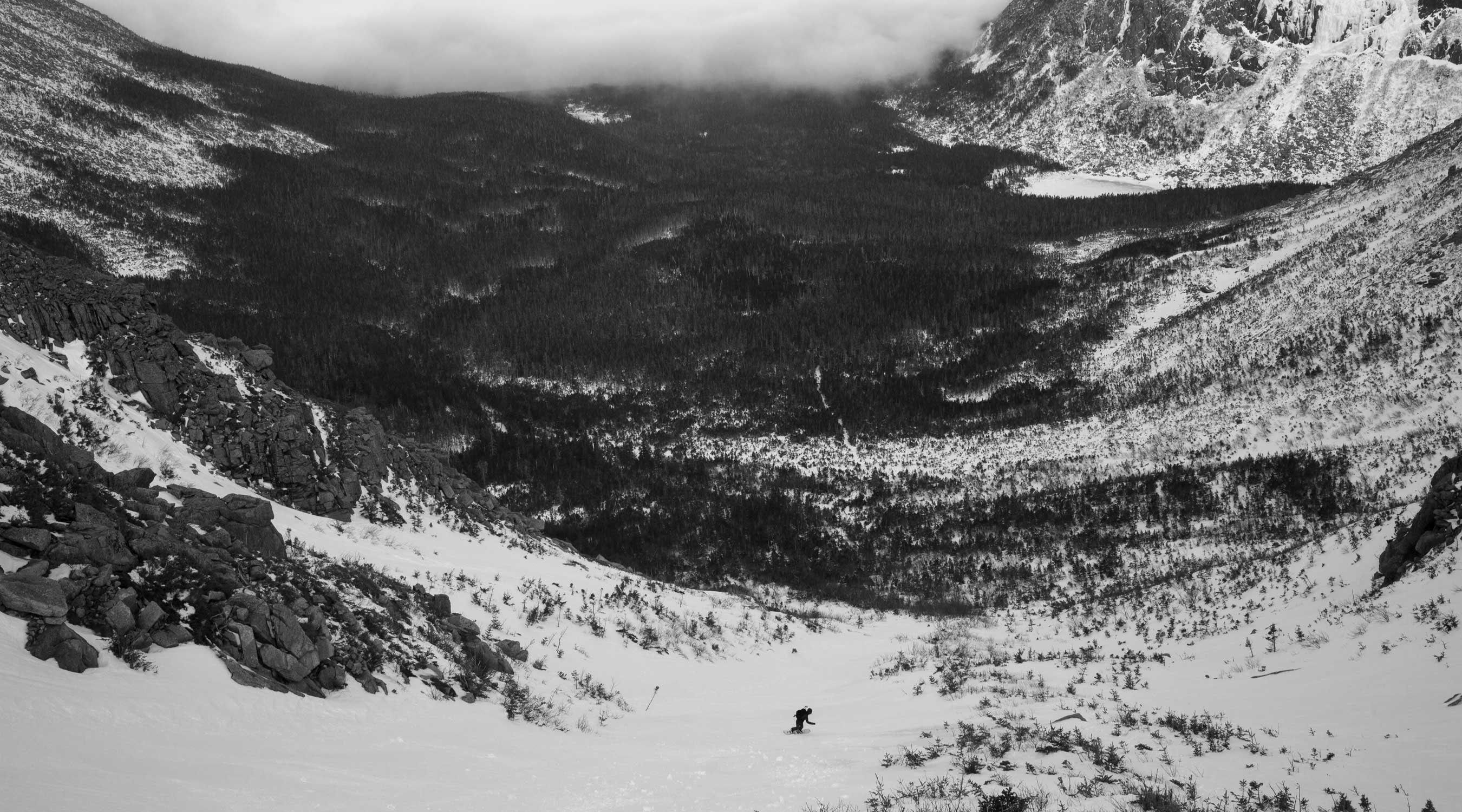
The ranger has told us the snowpack is fairly stable so we head straight for the South Basin to get a look for ourselves. We skin until it gets too steep, then switch over to crampons and begin boot packing up a line called the Chimney Couloir. The Chimney Couloir is a steep, narrow and illusive line that only gets skied on big snow years. Not enough snow to ride it from the top this year, so we turn around at the rocky choke and enjoy some sweet turns back down towards Chimney Pond. From there we ride out the river bed, hop back on the trail, and rip the slalom course back down to the Roaring Brook bunkhouse for the night.
Day Two - Katahdin or Hamlin or Bust
We wake up around 7:00 am with heavy legs from the 20+ miles and 4750 feet we climbed and rode the day before. Today will be our only opportunity for a summit attempt so we quickly scarf down breakfast and get geared up.
The weather forecast that morning calls for mostly cloudy skies, with a strong chance of rain, but we’re pleasantly surprised to see the sun peaking out as we make the approach back up to Chimney Pond again.
Reaching Chimney Pond, we stop into the ranger station to sign in and register our trip plan. Any party traveling above treeline in the state park is required to register with the rangers in case things go sideways on your journey. There are multiple options for climbing up to the summit of Katahdin and we decide to take a conservative approach that will allow us the back-up plan of summitting Hamlin Peak if the weather takes a turn for the worse. From the summit of Hamlin it’s a short hike across a saddle to the summit of Katahdin.
Our approach decision feels like the right call as we begin skinning up the Hamlin ridge trail. Hamlin Peak looks clear, but dark gray clouds hover over Katahdin. The trail steepens once we hit tree line, so we switch over to crampons. Climbing along the ridge we are treated to stunning views of Katahdin as the clouds swirl in and out.
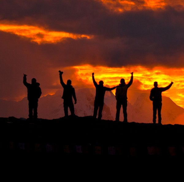
Nearing the summit of Hamlin we look across the saddle to where the summit of Katahdin should be visible. All we see is a thick blanket of clouds as 50+ mph wind gusts nearly knock us off our feet. Our dream of summiting Katahdin that day is not to be, but we drop packs and make a quick scramble up to the summit of Hamlin Peak as a consolation before heading back down.
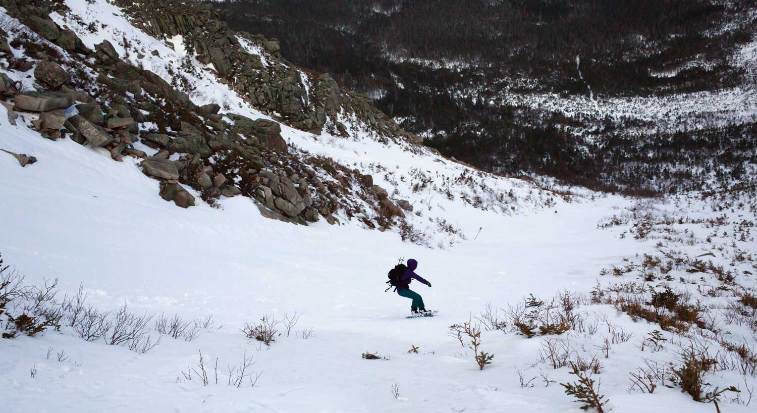
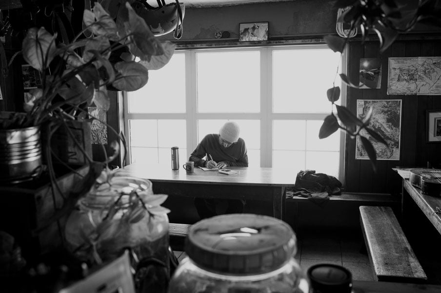
We descend the same way we came up and rip fun turns all the way down to Chimney Pond. There is still plenty of light, and the weather is much better at lower elevation, so we climb into the Great Basin towards Saddle Gulley to ride a few more lines before heading back to the bunkhouse. That evening we chef up a huge pot of rice and sausages, play endless games of Skip-Bo, and listen to heavy rain batter the tin roof of the bunkhouse.
Day Three - A Rainy Retreat
We wake up early the next day and are surprised to still find snow on the ground after last night's downpour. Our plan is to skin up into the basin one last time to ride another line or two, but the ranger comes by and tells us that Chimney Pond recorded over one inch of rain overnight and that the trail crossing the pond has begun to melt out.
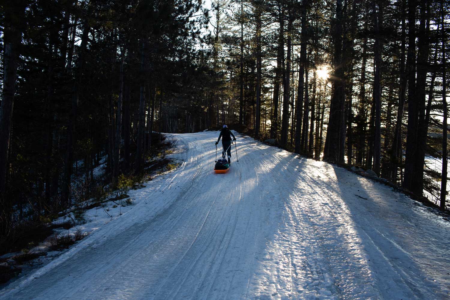
Even if we could make it across the pond, the shredding would surely be super manky, so we make the call to pack up and begin the 13 mile trek down to the car. The trail is mostly downhill, but the pitch is so gradual I keep my split in ski mode.
It’s now April 1st, the end of the winter season in Baxter State Park, and we’re the only people remaining in the park. We have all 209,000 acres to ourselves! Despite the long slog, we enjoy every minute of the wilderness time on the skin out. Savoring the last views of Katahdin as we get closer to the car, we can only think about one thing. When are we coming back next year?!!
Jones Adventure Grants
Turn your dream adventure into reality.
Apply now for the 2023 Jones Adventure Grants.
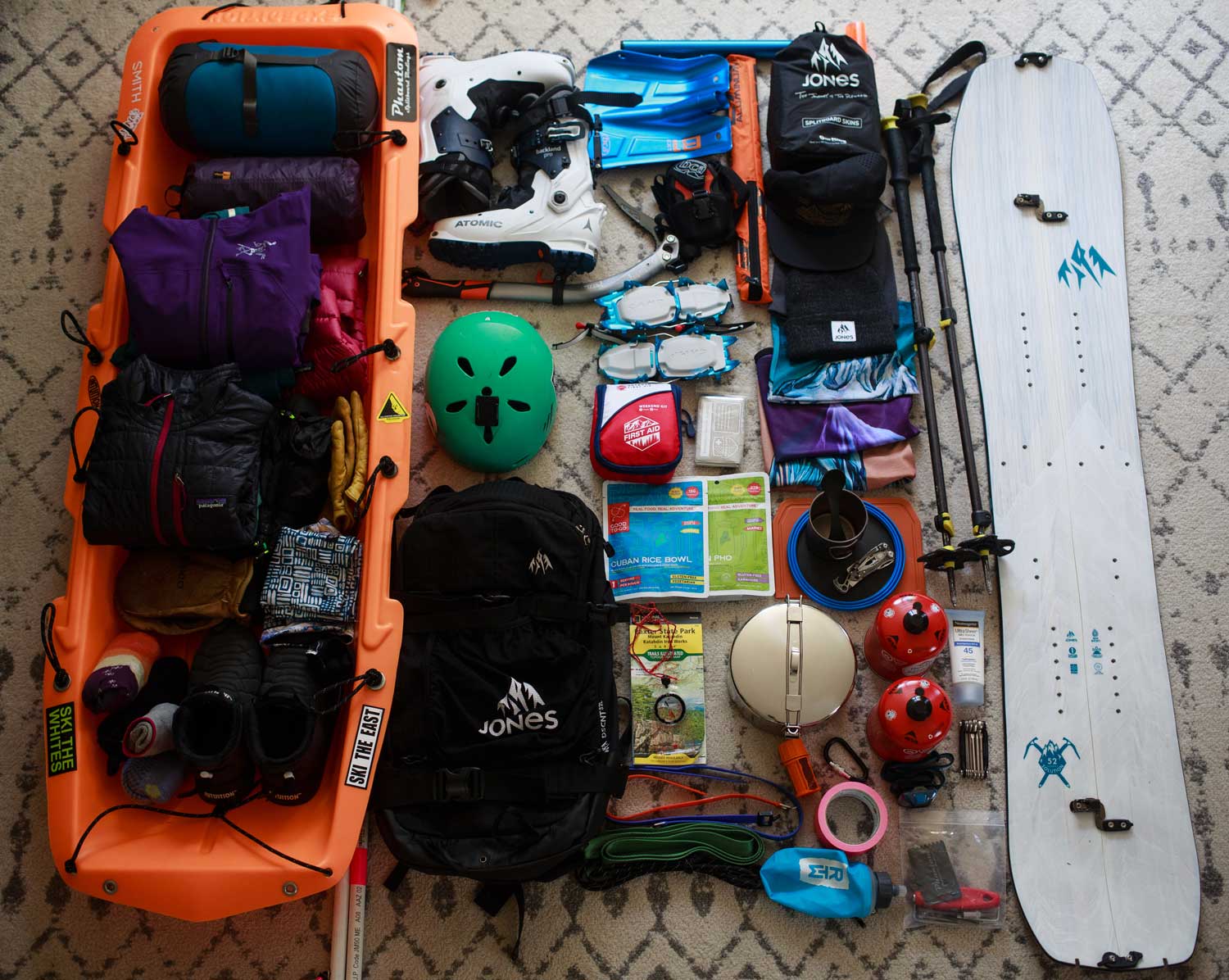
Gear for your next adventure

- out of stock

Share & Comment
Our Mission
Design innovative mountain gear that sets new performance standards and be a leader
in
manufacturing sustainability, environmental outreach and backcountry education.


© 2024 Jones Snowboards. All rights reserved.
Nidecker North America, 11253 Brockway Rd. Suite E202, Truckee, California 96161 - USA